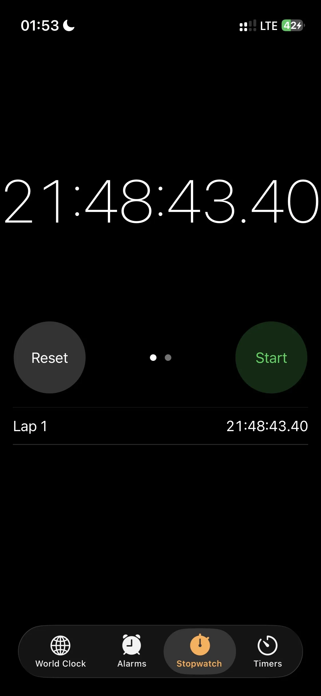
On Monday, August 24, I climbed the highest mountains in Scotland, England, and Wales inside 24 hours. The National Three Peaks. Ben Nevis, Scafell Pike, and Snowdon, 26 miles on foot, around 10,600 feet of vertical elevation, and 460 miles of road in between. I walked alone. My mum and dad drove the car. I managed to get it done in 21 hours, 48 minutes, and 43 seconds, and less than half of the people who attempt the challenge finish inside 24 hours.
It was the hardest single day I've ever had, and I've done some hard days. If you're wondering whether you could do it yourself, you probably can. I'd just want you to know what you're signing up for.
The night before
We stayed in Fort William, the gorgeous little town at the foot of Ben Nevis, which has a great restaurant scene for a place that size. We found a pizza place and I put away eleven or twelve hundred calories, on purpose, then got my head down at nine o'clock. Nine to three is only six and a half hours, which is short for me at the best of times, and I'd flown in from Kansas City a few days earlier and was still fighting jet lag. I am sure you know the feeling before an early flight, where your body knows something is coming and won't let you switch off. The night was restless. My Whoop scored the sleep at 45 percent and gave me a 35 percent recovery for the biggest physical day of my life.
The alarm went off at three. Two cups of coffee from a thermos made the night before, get dressed, out the door. I drove to the trailhead myself, and my dad came along to bring the car back. We'd left Mum asleep in her own room on purpose, because she was going to drive all 460 miles of the support legs herself. My dad is a fine driver for the ten minutes back from a trailhead. The long stuff was always going to be hers.
Ben Nevis in the dark
At about 3:26am we pulled into the car park at the Ben Nevis Visitor Centre in Glen Nevis. The visitor center was shut, the restrooms were shut, and the valley was silent. I turned on my head torch, crossed the footbridge over the river, and started walking at 3:30.
They say "the night is darkest just before the dawn," and it felt that way. The first stretch is gentle, a couple of fields, then you pick up the flank of the mountain and the gradient starts to pick up. The path up Ben Nevis is good the whole way, and even in the dark it wasn't difficult to follow. I'd downloaded the OS Maps routes and tested them offline before the trip, and my phone gave me an exact position whenever I checked. Mostly I didn't check. I just put miles underneath me as fast as I could.
What I hadn't planned for was my own head. Walking alone in the dark, I think it takes a stronger mind than mine not to wonder what's out there beyond the torch beam. There's something primal about being out at that hour by yourself, no weapon and no company. The sheep didn't help. A sheep at night is a pair of eerie yellow dots glowing in your head torch, like the devil watching you from a field.
There are a couple of stream crossings on the way up. The UK had been dry for a couple of months, but it had rained in the days before I arrived and there was a good amount of water moving through them. I'd reconditioned and re-waterproofed my La Sportiva boots before the trip and they held up well, and I was glad of them. If you're not confident picking a line across moving water in the dark, the crossings could be a little challenging and end up getting your feet wet.
Within the first hour I climbed above a sea of fog that had settled into the valleys, and I was looking down on it in the early light. I felt confident the summit would sit clear of it too. Higher up the wind picked up, and the base layer I'd been wearing had wicked so much sweat that it was soaked through. I have a strong sweat response and I was moving fast. Coming around onto the boulder field for the final zigzags, the chill hit me properly, so I pulled my North Face ThermoBall on over the base layer and kept climbing. The modeled summit temperature at that hour was around 36 degrees Fahrenheit (2 degrees Celsius) with gusts over 20 miles an hour, and I felt all of it through the wet fabric.
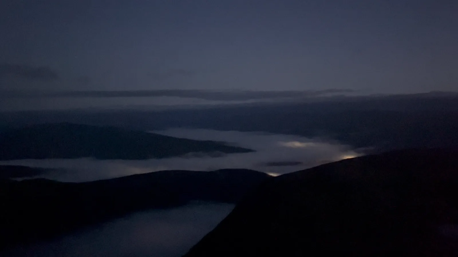
Closer to the top, a hare picked up the path ahead of me and ran it for a stretch. It was one of the nicer moments of the day, and I regret not filming it.
There was a little fog near the top, and I'd be lying if I said I wasn't watching it. But my visibility never dropped below 200 yards. The summit cairns up there are spaced roughly every 50 meters and I could see at least three of them at any point, and I was never in any danger of drifting toward the gullies that make this summit notorious in cloud.
Two structures mark the top of Ben Nevis. The ruins of the old Victorian observatory, with an emergency shelter perched on what's left of its tower, and the summit cairn with its trig point. I climbed up onto the observatory platform, took my photos, had a look around, and turned for the descent. It was somewhere around six in the morning.
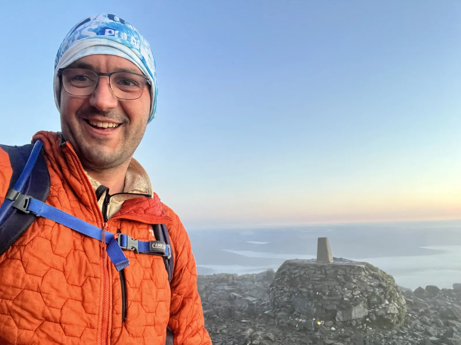
The descent took me about an hour and 45 minutes, against roughly two and a half hours going up. Twenty minutes below the summit I met the first climbers of the day coming up, a father and his young son. They were about to have the mountain to themselves, which I suspect was the plan. Lower down the traffic picked up, and I collected a few congratulations and a few puzzled looks from people doing the arithmetic on how early I must have started. One couple asked me straight out what time I'd left. I told them six o'clock, let them sit with the idea that I'd done Ben Nevis in 90 minutes, then admitted the truth.
I was back at the car at 7:45. Four hours and fifteen minutes, including a toilet stop, against a target of four and a half.
The drive south
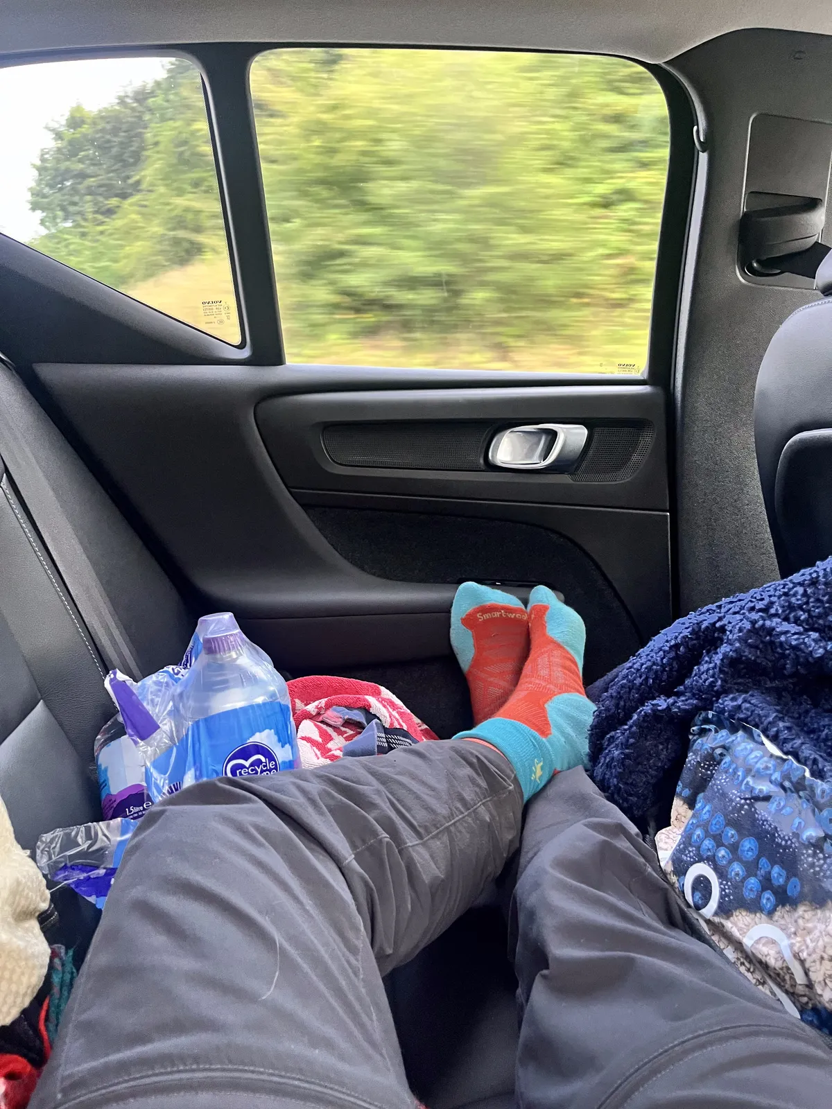
We'd been tactical about the car, which was Mum's Volvo XC40. Everything lived in the trunk, the boot to my English friends, except a day bag. The back seat stayed clear so I could stretch out across it. I'd also brought my own pillow from home, which was one of the better decisions of the trip.
The routine for the drives was the same. Boots off the second I sat down. Eat something. Drink something. Sleep. Wake up, eat, drink, stretch as well as a man can stretch in a moving car, sleep again. On that first leg I mixed 48 ounces of water with two sachets of Liquid IV hydration salts and worked through it, on top of the two and a half liters I'd already drunk on the mountain, and then another liter and a half after that. I slept through some of the best scenery in Scotland, and I do regret that. It's a beautiful part of the world, and I'd tell anyone to go see it properly on a holiday. That day, sleeping was more important.
The run to Wasdale took five hours and 42 minutes. The last piece is a single-track road down the valley that's famous for hold-ups, and on a summer weekend I think it would have been miserable. On a normal working Monday we got through with barely a wait. We drove straight past the National Trust car park at the lake head without noticing it, and ended up a little further along at the car park across the road from the Wasdale Head Inn, next to a small building that looked unused. That turned out to be the better mistake. My parents got a proper lunch out of it, I got a restroom, and my walk got slightly longer.
Scafell Pike in the heat
I started up at 1:27pm and the valley was baking. The modeled air temperature in Wasdale that afternoon was around 68 degrees Fahrenheit (20 degrees Celsius), which doesn't sound like much until you're climbing hard in direct sun with no breeze. You cross a field from the inn, over a small bridge, and then take a right and start up beside Lingmell Gill, a long pull up the edge of a stream bed with the sun square on your back. That section was brutal. Sweat was running into my eyes, and the salt in it stung so much that my vision was blurring.
Then, about an hour in, I stopped sweating. And I knew enough to know that stopping sweating in that heat is not your body giving you a break. It's the warning light for heat exhaustion. So my mind was in two places for the rest of the climb, wanting to move fast and knowing I had to watch myself. I'd carried a liter and a half of water, the same as I planned for each mountain. On that climb it should have been two and a half.
The mountain was busy. British summer holidays, early afternoon, a hot day. I was walking past groups the whole way up. I turned that into a pacing tool. When I passed a group that seemed chatty, I'd ask politely what time they'd started. I didn't know the mountain, but knowing how much time I'd made up on an average walker told me roughly how fast I was moving. The OS Maps time estimates gave me a second reference. About 30 minutes in, a guy watched me grinding past and called out that I should slow down, that it wasn't a race. It is, I told him. I'm doing the Three Peaks. He seemed to concede that was a fair enough point.
The summit of Scafell Pike is a huge stepped cairn, about 25 feet across, built as a memorial to the men of the Lake District who died in the First World War, with the trig point a few feet away. I went up the steps, took my photos, gave England about two minutes of my time, then came down the side, tagged the trig point, and got moving.
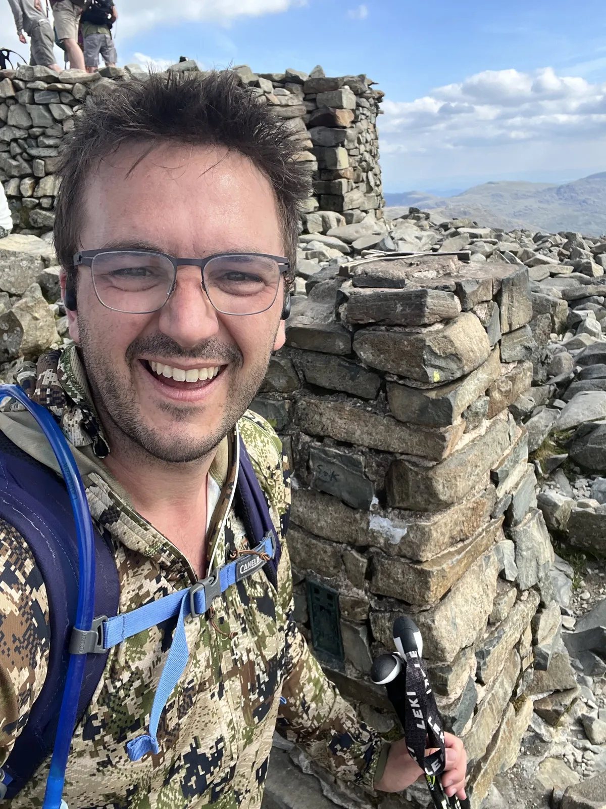
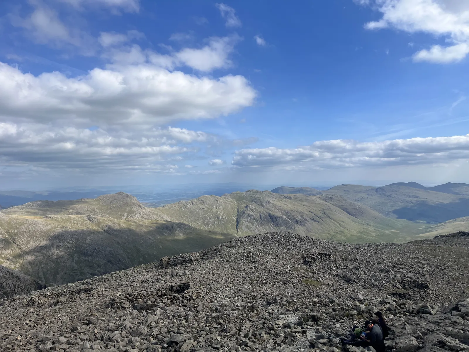
On the descent I started passing the same people I'd passed on the way up, now in the other direction, which got some laughs. Somewhere on that descent, with signal for the first time in hours and my body cooking, I remembered seeing an ice cream van in the car park. I called Mum and placed an order. Two ice creams, one of them a Magnum, one a Cornetto. My dad met me at the bottom holding a Magnum and a Mister Whippy with a Flake, which for American readers is a soft-serve cone with a stick of chocolate in it, and was not what I ordered. I'd have eaten anything cold at that point. The soft-serve melted all over my hands and I did not care. Cold calories.
Three hours and seventeen minutes, car to car, against a four-hour target. The best split of my day.
The last drive
The run to Llanberis took four hours and 15 minutes, a full hour under our very conservative estimate, thanks again to it being a plain working Monday. Same routine in the back. Curl up, fail to get comfortable, try the left side, try the right side, lie flat with my legs folded, sit up with them straight, eat, drink, stretch, sleep. None of it was proper sleep.
We stopped at a BP station just off the last main road before Llanberis. I used the restroom, laced my boots back up in the forecourt, and pulled the tops of my Smartwool compression socks back up over my calves. Rolling them down had been a small mercy I'd been giving my legs in the car all day. Then Mum and Dad ran me up to the top of Victoria Terrace in Llanberis, where the path starts at a cattle grid, and headed off to find their hotel. At 8:59pm I started up the last one.
Snowdon at night
The Llanberis Path starts steep and on tarmac, and the last stragglers of the day were coming down it as I went up. One guy was carrying a blanket and a boombox, and he told me, very dejected, that he hadn't made it to the top and had been forced to turn around. The boombox had multicolored LEDs on the front, and that was what he'd been using to navigate. He was woefully underprepared.
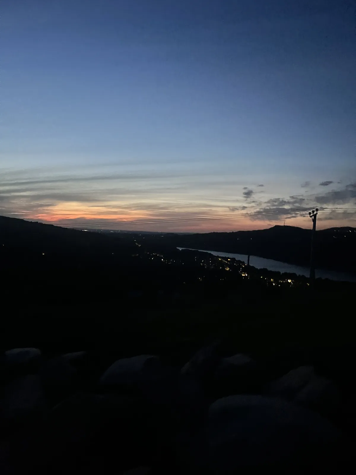
I'd expected help from the moon, which was nearly full that night, and got barely any of it. By the Halfway station I had got the head torch back on and would need it for the rest of the trip.
I'd picked the Llanberis Path for the final peak on purpose. I knew I'd be climbing it exhausted and in the dark. It's the gentlest way up Snowdon and it runs alongside the mountain railway for most of its length, which gives you a really reassuring landmark that you cannot lose. On the way down I did briefly lose the path and found myself on the railway itself, and it didn't matter, because the track carried me straight back to the path. That's why I chose it.
This final climb was the low point of my day. Past the Halfway station the wind was building, the temperature was dropping, and I started asking myself what I was doing out there. The modeled summit numbers for that hour were around 46 degrees Fahrenheit (8 degrees Celsius) with gusts near 30 miles an hour, and gusts over an exposed summit ridge run harder than any model shows. The sheep eyes were back to glowing in the dark and staring at me.
Where the path passes under the railway for the last time and swings right, there's a steep section of loose shale, and on it I hit the closest thing I had all day to a breaking point. I'd been awake for over 21 hours and I genuinely considered turning around. I kept hammering on.
Part of the problem was fuel. I'd based my trail snacks around the trail mix that I had loved so much in Svalbard, but in Svalbard I was eating small amounts of it across days, mixed in with other food. When trying to eat 3,000 calories of it in a single day, it just became dry, quite repetitive, and a little bit boring. One major tip would be to make sure that you get your food right. By Snowdon I was opening bags, picking out the pieces I could stomach, and throwing the rest away. I'd started the last climb without enough calories physically in the bag, and late in the climb my vision started tunneling, which I put down to running out of fuel. In burning 11,000 calories in a single day doing this challenge, your body will burn more than you can possibly ever eat.
Near the top, three young lads came down toward me out of the dark, with head torches but not much else in the way of kit, and warned me how windy it was up there. I'd been watching their lights above me for a while, wondering if they were another Three Peaks group. They weren't, just three lads out for it, and as they dropped away down the zigzags toward the Pyg and Miners' tracks I worried about them a little.
They were right about the wind. The final rise to the summit of Snowdon is a set of steps up to the cairn, and the gusts were strong enough that I went up it on my hands and knees. On my own, after midnight, as tired as I was at that point, the calculation was simple. If a gust put me over and I hit my head, I was in serious trouble very fast. So I crawled. I have a video from the top and almost all you can hear is wind. It wasn't even cold by mountain standards. It was the force of it.
The finish
I gave the descent the respect it was asking for. The top section of the Llanberis Path is steep, gusty, and loose, so I came down it slow and steady, and once I reached the railway station at approximately the halfway point I settled into a consistent pace rather than a fast one. I had time in hand, and slow, careful success felt like a better option to me than racing and spraining an ankle in the last minute. If you start up Snowdon with three and a half hours left on the clock, the climb can be done inside that. I'd planned four, and I was prepared to run the descent if it came to it. I didn't need to.
The last stretch into Llanberis is back on tarmac, and it was one of the most painful sections of the whole day. The road is steep, my feet were wrecked, and my poles wouldn't grip the surface, so I found myself walking switchbacks down a paved road at one in the morning to soften the gradient. Then the cattle grid appeared in my torch beam, the same one I'd crossed four hours and 16 minutes earlier, and I stopped the timer as I stepped over it. 21 hours, 48 minutes, 43 seconds.
We'd booked a hotel in the village on the assumption that my parents would need it even if I ended up sleeping in the car. Because the day had run ahead of plan, Mum was there at the road at half past one to meet me, and she gave me a hug. By two o'clock I'd showered, eaten, and passed out.
What the Whoop recorded
My Whoop scored the day at a strain of 20.8, out of a maximum of 21. It recorded 11,203 calories burned and 69,288 steps. I'd gone in on a 35 percent recovery, and the next morning it gave me 5 percent, the lowest number I've ever seen on it, off about six hours of sleep that it scored at 31 percent.
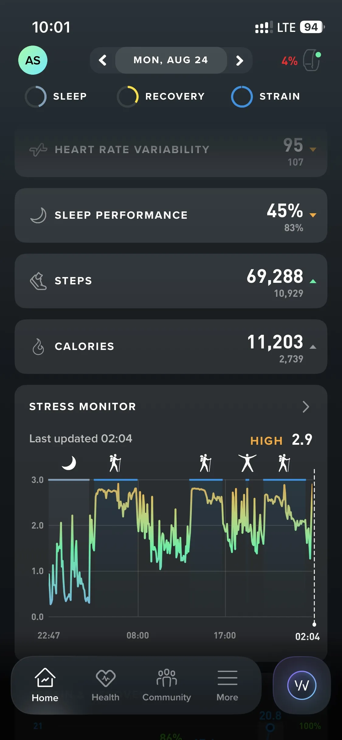
The Whoop picked the three climbs out on its own afterward. Ben Nevis averaged 154 beats per minute, with 60 percent of the climb spent in Zones 4 and 5. Scafell Pike, the climb in the heat, averaged 158 and touched 187, my max for the whole day, with over a third of it in Zone 5. Snowdon averaged 131.
I'd set out intending to hold my heart rate around 135. The Whoop only shows live heart rate inside a started activity, and I never started one, so I climbed all day without tracking it. The data was all captured in the background and it's fascinating after the fact. It was no use to me on the mountain.
If you're thinking about doing it
Everything below is what I'd tell a friend who was serious about an attempt.
Take it seriously. The Three Peaks has a reputation as the accessible one. The Princess of Wales completed the challenge two months before I did, young kids have done it, and so have veterans missing limbs. I think that reputation misleads people. Accessible and easy are not the same thing. I train hard, I've done long expedition days in the Arctic, and this was the hardest single day I've ever had. The difficulty isn't any one climb. It's the length, the heat, the dark, the cold, the wind, and the mental game, stacked on top of each other for 22 hours.
The plan is the challenge. Most failed attempts die on logistics rather than fitness. My day worked because the plan was built months out. We started at 3:30am instead of the traditional afternoon start, which put Scafell Pike in daylight and moved the dark, exhausted final climb onto the gentlest path in the set. We ran a drop-and-collect model, so nobody ever hunted for parking with a clock running. My drivers were positioned early at each collection point, and every leg had margin built in. I finished 2 hours and 11 minutes inside the cutoff, and I'd credit most of that to decisions made before I ever put a boot on.
Don't do it alone. I soloed it, and I'd tell you not to. Being by yourself on the last climb is mentally taxing in a way that's hard to convey, and it's also a real safety cost. Crawling to a summit in the wind at midnight is a different proposition when nobody is beside you. If I did it again, I'd want one partner. I think two climbers could be the optimum, with a car that has three rows and a strong driver, so that each climber gets a full row to sleep across between mountains. It would also be exponentially more fun.
Routes. I went up Ben Nevis by the Mountain Track from Glen Nevis, Scafell Pike from Wasdale via Lingmell Gill and Hollow Stones, and Snowdon by the Llanberis Path, and I'd repeat all three choices. One of the more important decisions I made was taking the Llanberis Path. With another person along I might have done the Miners' Track, and in daylight I would have considered the Miners' or the Pyg. But I knew I was solo and I knew I'd be climbing at night, so I picked the easiest path in the set.
Below are the GPX tracks for all three routes, the kit checklist I used, and the navigation card I carried. The checklist and the card are the actual documents from the day, not cleaned up after the fact. The bearings on the card are grid bearings that match Mountaineering Scotland's published descent guidance. You need to make sure to check the magnetic variation and calibrate your own pacing if you're going to use these.
- Ben Nevis Mountain Track route (GPX)
- Scafell Pike via Lingmell Gill and Hollow Stones route (GPX)
- Snowdon Llanberis Path route (GPX)
- The kit checklist (PDF)
- The summit navigation card (PDF)
Training. The descents take more out of your legs than the climbs do, through what's called eccentric loading. My recommendation to make sure that you're ready for this is weighted box step-downs, stepping up onto a box and down off the far side, forward, not backward, to condition your tendons and muscles for that movement. On the day, poles saved my legs. I used two on all three descents, and at the end of the day my knees and glutes were fine. The fatigue lived in the soles of my feet and a little in my quads, which for 26 miles and 10,600 feet of up and down counts as a win.
Kit verdicts. The reconditioned La Sportiva boots kept the water out at the stream crossings and held up well all day. You could do the routes I did in good fell-running shoes, but I wouldn't use tennis shoes, and I appreciated the ankle protection. I slipped and rolled an ankle somewhere between a half-dozen and a dozen times, and I'm sure the combination of the poles and the above-ankle boots saved me from a serious injury. Smartwool full-calf compression socks wicked the sweat away from my feet and kept them dry and healthy all day. Poles, non-negotiable for me. Mine are adjustable in length, and I used that all day, shortening them slightly on the climbs and lengthening them on the descents so I could get them out further in front of me. A dry warm layer accessible near the top of your bag, because a sweat-soaked base layer meets summit wind within a few minutes of you slowing down. My whistle and bivvy bag rode all day unused, and I'd pack both again. I also traveled with a full waterproof shell, top and bottom, the North Face L5s. I checked the weather radar before the start of every ascent and would have carried them if the forecast had called for it. Luckily I never had to. I wore light walking trousers rather than shorts, because Scotland has ticks, and a long-sleeve base layer, which gave me sun protection on the hot mountain and warmth on the cold ones. And carry a proper pillow for the car.
Food and water. I drank about ten liters across the day, a liter and a half carried on each mountain plus heavy drinking in the car with Liquid IV salts mixed in. On a hot afternoon climb like my Scafell, carry two and a half. Food is where I'd mark myself down. I burned over 11,000 calories and I didn't get enough in, partly because my car food lacked variety and partly because my trail mix failed me at scale. Test your trail food at the rate you'll actually need to eat it, not just the flavor of it, because a snack you enjoy in small amounts can become inedible when it's the only thing and you need a lot of it fast.
Navigation. OS Maps with all three routes downloaded offline, tested before the trip, was my primary tool and it worked. I also carried a printed card with compass bearings for descending each summit in cloud, and thanks to the weather I never took the compass out. I'd carry it again without hesitation. Clear summits on all three peaks in one day is luck, and the two summits I hit in the dark would have been a different story in fog. One warning that matters on Ben Nevis in particular. A GPS app routing you a straight line back to the car park from that summit will draw the line across the cliffs. Follow a loaded route track, never a destination pin.
The drone. I carried a DJI drone, its controller, and a spare battery up all three mountains, and I came home with zero frames of drone footage. On the Ben Nevis summit the app showed a no-fly error I couldn't clear and I didn't have time to fight it. Scafell Pike was too crowded even to consider. And I later learned the National Trust prohibits drone launches from its land altogether, which covers Scafell Pike and the summit side of Snowdon, so most of my plan was dead before I packed the bag. Check the airspace and the landowner's rules at home, before you carry the weight. The drone rode 26 miles on my back as a paperweight.
Why
As for why I did it, I have no idea. I don't fully know why I'm planning the bigger objectives either. There's a part of me that needs the next challenge, that has to keep pushing forward, and it's embedded somewhere I can't inspect. I love being in nature and I love the adventure. Some people will recognize the itch, and the ones who do will understand.
The day cost a 5 percent recovery, a pair of trashed feet, and a genuine scare on a dark mountain in the wind. It gave me the finish, 2 hours and 11 minutes inside the cutoff. Plan it properly, and take someone with you.